  |
|
PARTNERS | HEALTHY CITY | HOW HEALTHY | VISION | SUMMIT | PRIORITIES | FUNCTIONS | CITY OF FALL RIVER |
|
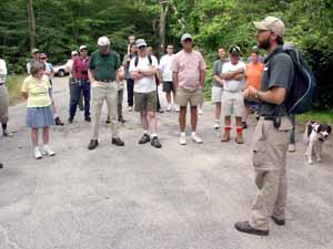
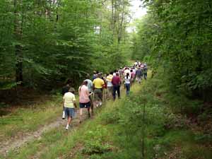
Linton
Harrington of
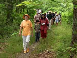
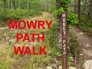
The Trustees of Reservations led a group of walkers through the
Copicut Woods in Fall River on July 30, 2005, one of a number of walks
sponsored by the Trustees. Long before
European settlement, the native Pocasset tribe established the
Mowry Path, a foot trail cutting through the "Copicut" or "dense dark
woods" in what is today the Southeastern Massachusetts Bioreserve. The
path led along the eastern side of Watuppa Pond to the Peace Haven
settlement on the Taunton River and was used as an escape route by King
Philip and Weetamoe after battling the English in the Pocasset Cedar Swamp
during the the beginning of the
King Philip War.
From Fighting Rock to Bell Rock, Queen Gutter Book to Dr. Durfee's Mill
Pond, this walk followed the footsteps of Chief Metacom on
an ancient
Wampanoag trail. Most of the walk took place within the city limits of
Fall River. |
||
 |
 |
 |
 |
 |
 |
 |
 |
 |
|
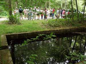
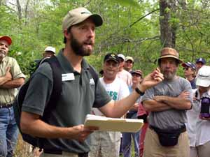
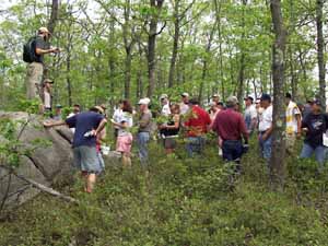
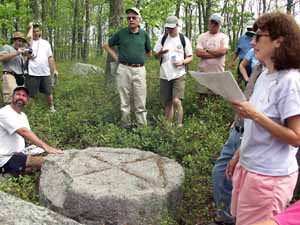
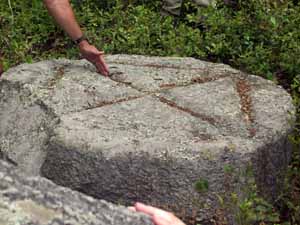
(Top row) Education Director Linton Harrington of The Trustees of Reservations leads a group on a heart-healthy walk through the Copicut Woods on the Mowry Path, part of the Southeastern Massachusetts Bioreserve, an area of preserved forest large enough to sustain the native biodiversity of this region. He paused to point out one of the water-filled cisterns constructed by the Works Progress Administration in the 1930s to aide in fire-fighting. (Middle row) Mr. Harrington points out one of the American Chestnut trees that became almost extinct due to a fungus that was introduced to the East Coast from China at the end of the 19th Century. (Bottom row) Mr. Harrington takes the group by a "mystery rock", a large, circular piece of granite inscribed with lines pointing to compass points. While theories of its origin abound, no confirmed explanation exists. |
||