  |
|
PARTNERS | HEALTHY CITY | HOW HEALTHY | VISION | SUMMIT | PRIORITIES | FUNCTIONS | CITY OF FALL RIVER |
|
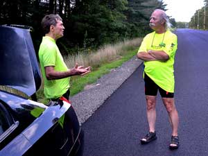
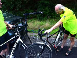
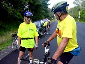
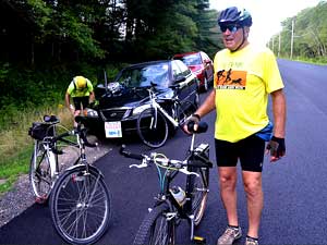
Members of the Fall River Bicycle Committee
organized a series of rides through the Southeastern Massachusetts
Bioreserve, a 14,000 acre tract of wooded land that borders Fall River's
northeast corner, every Thursday evening through the month of August,
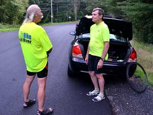
2016. Bike Fall River members Mike Klek, Paul DeVillers and Frank
Menezes joined up on August 11th for a 12.5-mile ride through the
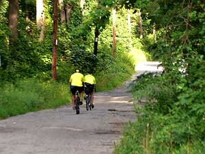
forested area, much of which is within the Fall River City Limits. The
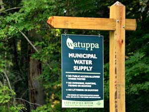
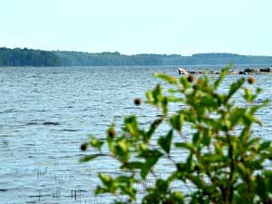
Bioreserve protects Fall River's drinking
water supply and is home to various animal and plant species. The
area is also rich in history as native leaders King
Philip and Weetamoe
used paths across this area to escape from the pursuing English
militia at the start of King Philip's War in 1675.
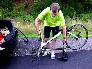
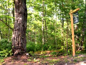
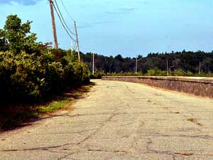
The Bioreserve offers an "off road"
experience through a natural setting that is rarely traveled by motorized
vehicles. Despite the poor condition of the pavement in many areas, the
cyclists can navigate over seventeen miles of trails. "There are a
few rough spots, but the road is not horrible," noted Paul who
cautioned those who did not have an off-road bike like his. Click
here for a eighty-second
|
||
 |
 |
 |
 |
 |
 |
 |
 |
 |
 |
 |
 |
 |
 |
 |
|
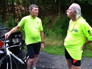
(Top two rows) Bike Fall River members Paul DeVillers and Mike Klek park their cars on the southern end of Riggenbach Road and talk as they wait for member Frank Menezes to arrive. (Rows three and four) Frank arrives and joins the group as they head down the extension of Wilson Road where the road runs into the Bioreserve. (Bottom row) The road goes past the North Watuppa Pond, which is the municipal water supply for Fall River, and the Tattapanum Trail entrance. |
||