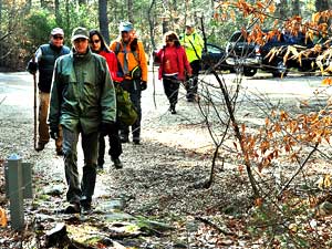
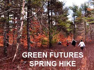
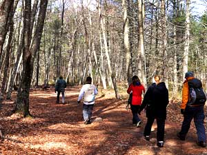
A small group of
hikers explored parts of the Southeastern
Massachusetts Bioreserve (SMB) on April 1, 2017 on a walk
organized by Everett Castro of Green
Futures as part of a series of walks to help people become more
familiar with (SMB). The
group explored for seven miles, walking all or parts of Horseshoe Trail,
Indian Turn Trail, Deadman's Trail, Clint Davis Trail, Yellow Hill Road,
Woodchuck Trail, old log skidder track, Break Ridge Trail, East Line
Trail, Tower Road, and Temperance Path. Along the way the group stopped
to view King Philip's Spring, where Philip, Weetamoe and their followers
stopped and rested after the Pocasset
Cedar Swamp Fight of July 19, 1675. After resting, the Native
Americans walked north to Winslow's Ferry in Assonet and crossed the
Taunton River to head up into central Massachusetts to try and get the
Nipmucks to join their cause. The hikers stopped to view spring-rain
swollen Queen Gutter Brook and to take a closer look at some pileated
woodpecker sign found along the way.
The mission of the SMB is to protect, restore
and enhance the biological diversity and ecological integrity of a
large-scale ecosystem with diverse natural communities representative of
the region. Click
here for photos of an earlier walk. For more information, contact info@greenfutures.org
(Photos by
Everett Castro)
|
|
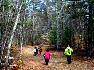
(Top
row) Roger Garant leads a group of hikers, including Christin Gelinas and
Barry French, center, onto the trail from the Copicut
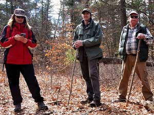
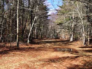
Woods parking lot on Indian Town Road. (Row two) The group pauses
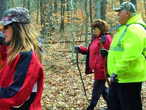
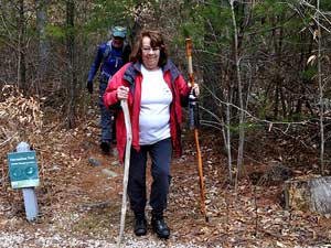
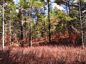
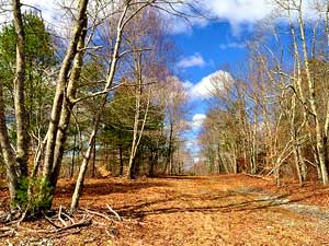
before heading on another trail through the woods. (Row three) Diane
Oliveira and Luisa Tavares emerge from one trail before joining the group
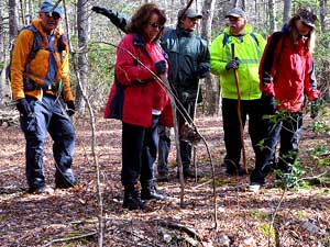
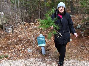
on another. (Bottom row) A variety of early spring scenes can be seen
along the trails.
|